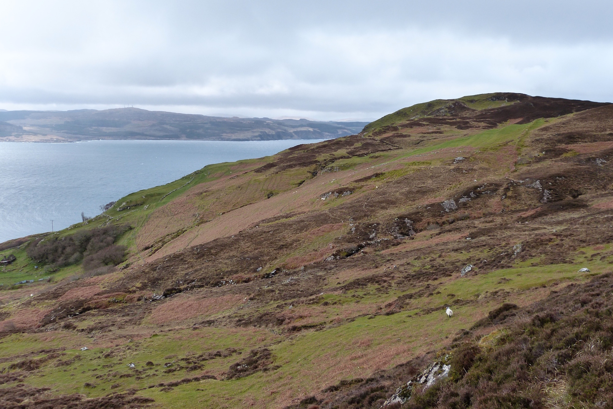
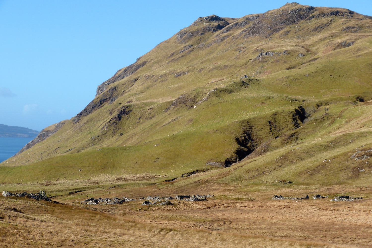
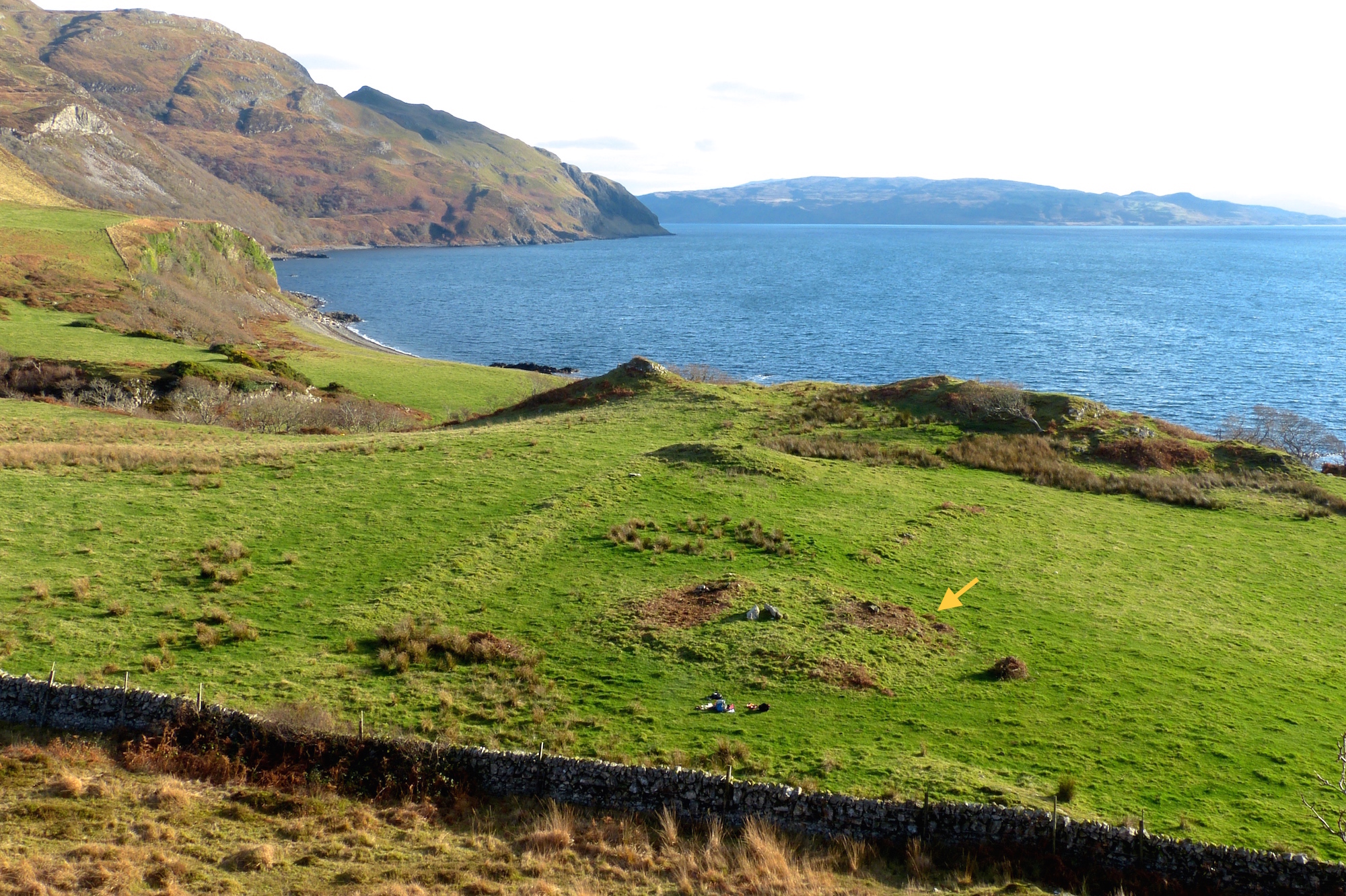
This picture was taken from the common grazings at the back of the crofting township of Ormsaigbeg, looking southwest towards a low hill called Maol Buidhe, with the Sound of Mull beyond. At this time of year, before the bracken has grown up, the characteristic stripes of lazy beds can just be seen, evidence of past arable workings.
We know from historical maps that this area was extensively worked early in the 18th century, but had fallen out of use by the beginning of the 19th. It’s evidence that the peninsula once supported a much larger population, but how much bigger….
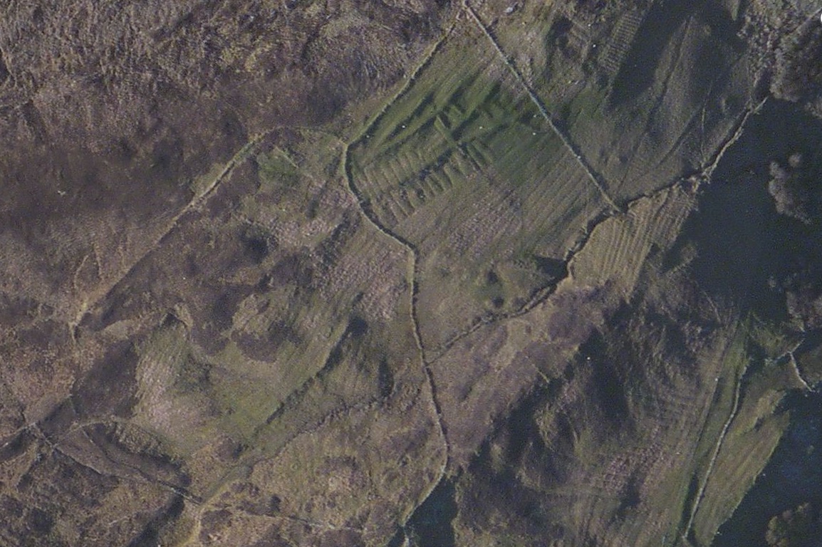
….is suggested by this satellite photo of the same area, where the extent of the workings becomes clearer. What is fascinating is the variety of types of beds – in some places, such as the bottom right of the picture, different generations of beds run across each other – showing that this area has been worked for many hundreds of years.
Ormsaigbeg – the name has Norse derivations – certainly existed in MacIain times, and it is evidence like this which explains why, in their time, the MacIains were able to raise considerable numbers of men to fight in local conflicts.
